CAF presents innovative Web system to monitor flooding and its impacts on Latin America and the Caribbean
Through its GeoSUR program, the financial institution will generate current and historic flooding maps of Latin America and the Caribbean, available on the internet.
A first exercise was carried out in Bolivia, through which daily flood mappings were developed by using remote sensors to measure the river flows and verify that the flood level reached historic values.
(La Paz, March 25th, 2014). Floods such as the ones that have affected several regions in Bolivia over past months will be monitored in real time through the internet, with CAF's GeoSUR program which, supported by the University of Colorado, enables the identification of the areas affected and its precise extension, in order to help manage the disaster in a proactive manner, and channel and manage humanitarian aid.
The program, which extends to all the countries in Latin America and the Caribbean, will generate maps of flooded areas and download them to the web for public access, using the MODIS images as a basis for the analysis (250 meter resolution, two daily takes) and Landsat (30 meter resolution, one take every 16 days).
Given Bolivia's situation, a first map of the country was developed, showing large extensions of flooded land in the department of Beni, where the flooded areas are highlighted in red, the previously flooded areas are highlighted in light blue, and permanent water bodies (such as lakes or lagoons) in dark blue.
In addition, it shows points in the hydric network, incorporated to an automatic system, where the daily level of the river flow is estimated through remote sensors. These points, with values that have been monitors since 1998, show that the levels of some rivers in the area have reached a flow that exceeds a height which, on average, repeats itself only every 30 years.
In approximately one month, the GeoSUR program will introduce the data in the portal and update the maps to have recent information of the hydric situation of any region in the country. In the meantime, due to the critical situation, Bolivia's data are updated in the following pages:
http://floodobservatory.colorado.edu/Version3/070W010Sv3.html y
http://floodobservatory.colorado.edu/RapidResponse/2014Bolivia4117/2014Bolivia.html
The system will allow users to visualize and download a digital map of the floods, have access to a geo-referenced registry of the historic floods in the region, and make remote estimates of flows in selected points. Specialists in Bolivia could provide geographic coordinates of the points where they want to measure the flow.
The system operated by CAF is mapping the floods and making estimates of the hydric flow in all of Latin America and the Caribbean. For more information on this project, visit www.geosur.info
How Does GeoSUR Work?
The program, coordinated by CAF, Development Bank of Latin America, and the Pan-American Geography and History Institute (IPGH, for its acronym in Spanish), operates and maintains the geographic information network of Latin America and the Caribbean. More than ninety participating institutions use the map services that are currently linked to the Regional Portal. The network is decentralized and the institutions operate and maintain their geoservices and data. Only the regional information is maintained directly by GeoSUR.
The GeoPortal offers access to the region's spatial data at a local, national, and regional level, and its use does not require technical knowledge or specialized software. It only requires a connection and an internet browser. Access is free and its use bears no cost.
CAF's more recent content

CAF, ECLAC, IDB and PAHO Promote Sustainable Development in the G20
The Regional Organizations of the Americas congratulate Brazil on its successful G20 Presidency, highlighting its leadership on key issues such as poverty, governance, and climate change. They also reaffirm their commitment to actions that promote equity and development in the region.
Urgent Call for Action to Safeguard Caribbean SIDS at CAF Symposium
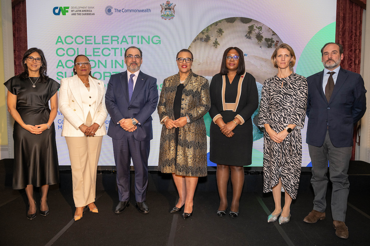
As the global community grapples with the escalating climate crisis, Caribbean Small Island Developing States (SIDS) are running out of time to secure critical investments and support needed to strengthen their economies and protect vulnerable communities from the intensifying impacts of climate change. With the window to take decisive action rapidly shrinking, CAF - Development Bank of Latin America and the Caribbean, in partnership with the Commonwealth Secretariat and the Antigua and Barbuda High Commission, brought together key stakeholders for a symposium in London to address the critical vulnerabilities Caribbean SIDS face.