Hot spots and crime prevention
Recognizing the spatial nature of crime has clear public policy implications: if certain factors that are intrinsic to geographic spaces determine the occurrence of a crime, a prevention policy focused on the geographic space should achieve a reduction in crime.
Access to geo-referenced data shows the clear concentration of crime in a few places better known as "hot spots".
To study the "hot spots" phenomenon, information on four Colombian cities and the Municipality of Sucre in the Metropolitan District of Caracas is analyzed, detailing the type of crime, number of victims, percentage of blocks without victims throughout the period, and percentage of blocks that concentrate 50% and 100% of the victims for each city. For the sake of comparison, the percentage of blocks that would concentrate 100% of the crimes if they were randomly distributed is studied. Following are the conclusions:
- Spatial concentration: on average, 50% of thefts occur in only 7.1% of the blocks while 50% of common homicides occur in 1.59% of the blocks. At the same time, if the crimes were randomly assigned between the blocks, 100% of the thefts in Barranquillas, for example, would occur in 16.7% of the blocks, a difference of more than 75% with respect to the observed distribution.
- Hot spots with crime free environments; stable in time: in the Colombian cities, 17% (30%) of the blocks identified as hot spots for thefts (injuries) are in environments completely free of crime, understood as the set of 10 blocks closest to the hot spot. At the same time, very dangerous blocks in one year are usually also highly dangerous in following years.
- Temporary concentration: it is usually the case that homicides are more frequent during night hours, while thefts are more common during the day.
Each space-time cell has a very particular configuration that determines its inclination toward crime. The elements that give the criminal potential to a place (at a given time) are varied: from its topographic characteristics, the commercial activity, and the flow of pedestrians in a determined corner, to the weak social ties between neighbors or the neglect of public spaces, among others.
Recognizing the spatial nature of crime has clear implications for public policies: if certain factors which are intrinsic to geographic spaces determine the occurrence of crimes, a prevention policy focused on the space should achieve a reduction of crime.
The starting point for the design of a strategy is the creation and maintenance of geo-referenced information which serves as the basis for the identification of "hot" spots and moments, supported by statistical methods and opinions and suggestions from police authorities or the inhabitants of the area. The following step is to understand what factors make these spaces and moments more crime-prone.
Spatially focalizing interventions could generate doubts regarding the movement of crime from one street or corner to another. However, impact evaluations show that in addition to a considerable reduction of crime in the treated areas, the criminal activity does not seem to move to adjacent areas but rather, on the contrary, the benefits seems to disseminate to other areas, albeit at a modest pace.

CAF's more recent content

CAF, ECLAC, IDB and PAHO Promote Sustainable Development in the G20
The Regional Organizations of the Americas congratulate Brazil on its successful G20 Presidency, highlighting its leadership on key issues such as poverty, governance, and climate change. They also reaffirm their commitment to actions that promote equity and development in the region.
Urgent Call for Action to Safeguard Caribbean SIDS at CAF Symposium
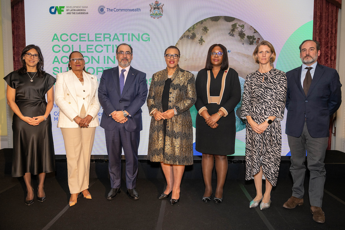
As the global community grapples with the escalating climate crisis, Caribbean Small Island Developing States (SIDS) are running out of time to secure critical investments and support needed to strengthen their economies and protect vulnerable communities from the intensifying impacts of climate change. With the window to take decisive action rapidly shrinking, CAF - Development Bank of Latin America and the Caribbean, in partnership with the Commonwealth Secretariat and the Antigua and Barbuda High Commission, brought together key stakeholders for a symposium in London to address the critical vulnerabilities Caribbean SIDS face.